THE PARKLANDS
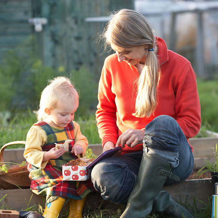
The Parklands provides a substantial area of accessible multi-functional public open space. The Parklands will include the SANG, new allotments, a new cemetery, play facilities, sports pitches and informal pedestrian and cycle routes.
DESTINATION OPEN SPACE (SANG)
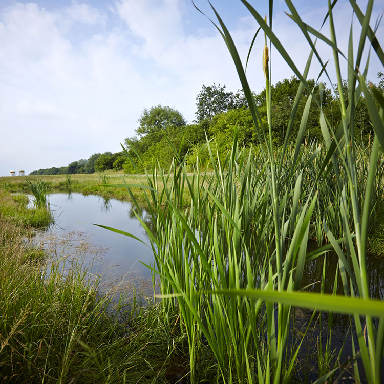
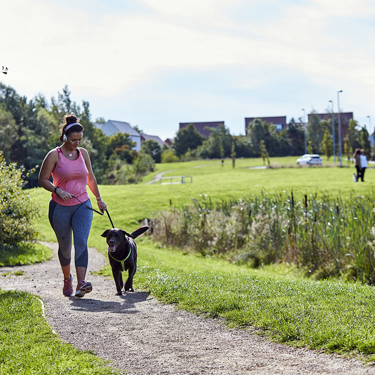
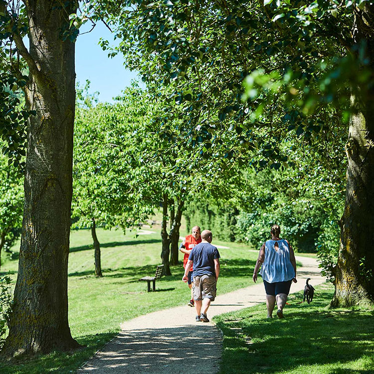
The Destination Open Space is designed as a Suitable Alternative Natural Greenspace (SANG) to provide mitigation for visitor pressure on the Upper Nene Valley Gravel Pits Special Protection Area. It will provide an attractive natural and semi-natural environment and a place for relaxation and informal recreation for both new residents and the wider community. There will be a variety of habitats, including large wetland or ponds and potential for ‘dog-dips’ and woodland or semi-wooded areas. The area will include a range of safe and defined circular walking routes to encourage exercise and enjoyment of the outdoors.
CENTRAL GREEN LINK
This area will provide a wide, landscaped ‘Green Link’ running through the heart of High Hayden, following the line of the existing stream. Pedestrian and cycle routes will be incorporated to maximise public access across the development, with an aspiration to link to the existing Greenway network. The incorporation of sustainable forms of surface water drainage and attenuation is an important function of this area.
TOWN PARK
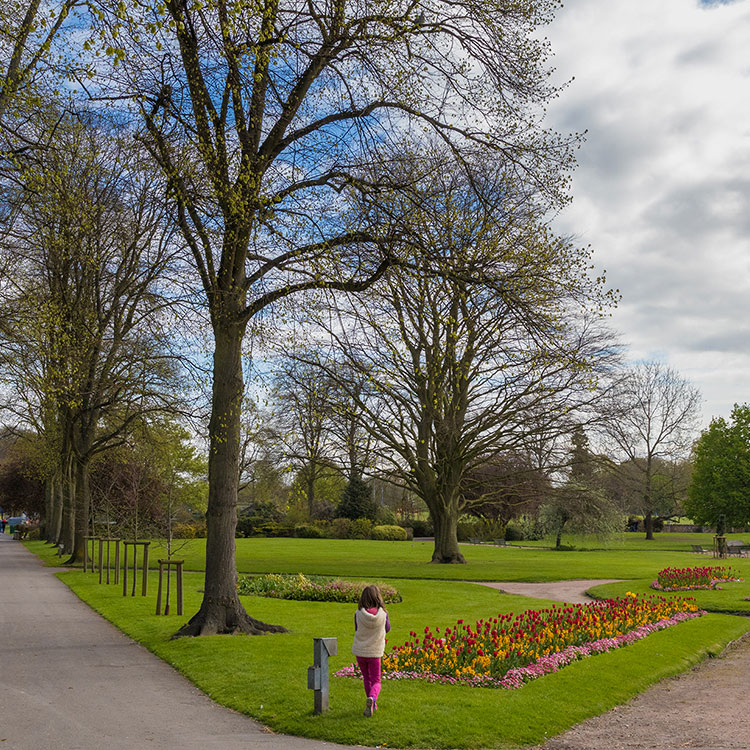
In contrast to the various informal open spaces around the site, a series of smaller, more formal green open spaces will be included within the masterplan, the largest of which, the ‘Town Park’, lies alongside the spine road in the southern half of the development, close to the existing community of Rushden. The town park will provide opportunities for residents to meet, with large open lawns providing ample space for community events as well as smaller family gatherings.
CEMETERY
An area for a new cemetery has been provided in the Parklands area to the south-east of the site.
